
—— Understanding Land. Preserving Legacy ——
— Understanding Land. Preserving Legacy —
— Our Story —
— Our Story —
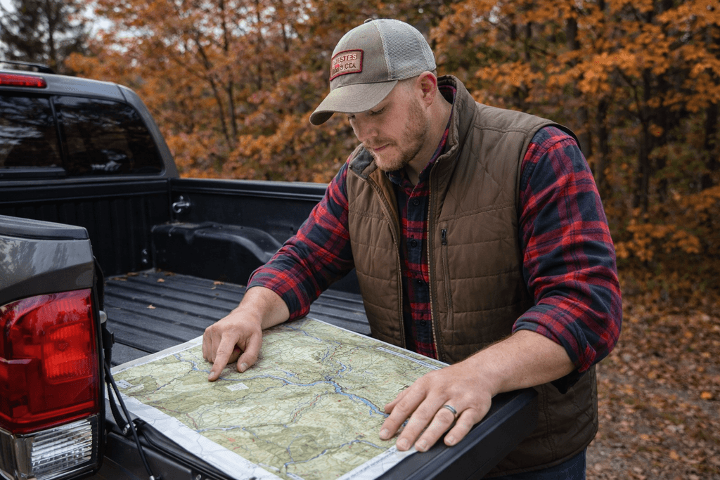
I grew up in the pine forests of western Georgia before moving to the Missouri River Bluffs in eastern Nebraska. I was lucky enough to grow up on an acreage in both states and loved to explore and learn about each property. This hands-on outdoor education was the beginning of a life long love for the outdoors, conservation, and habitat management.
This love of nature then fostered a career in water resource engineering, where I learned how water shapes a landscape and how vital a good map can be for land management, habitat restoration, and decision making.
Maps can be important for hunting deicisons, family legacy, restoration projects, land sales, and visualiziation. TerraView was born from this idea.
— Why It Matters —
— Why It Matters —
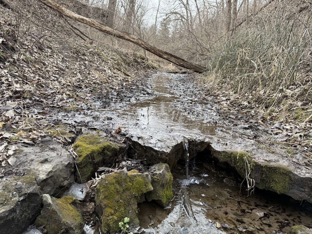
Land carries more than acreage. It carries work, memory, investment, nature, and often family history.
The way a property lays - it's ridges, drainage, access points, and timber - shape how it's used today and how it's passed down tomorrow. Clear elevation, water patterns, and terrain detail aren't just technical information. They influence habitat decisions, building plans, improvements, and long-term stewardship
When you can see your land clearly, you make better decisions for it and the people that will take care of it after you.
That's why each TerraView map is built with care and clarity.
— What Makes TerraView Different —
— What Makes TerraView Different —
Custom-built for each property
High-resolution aerial and terrain data
Field-ready and display-worthy options
Designed for landowners, hunters, and stewards
Custom-built for each property
High-resolution aerial and terrain data
Field-ready and display-worthy options
Designed for landowners, hunters, and stewards
Ready to see your land differently?
Ready to see your land differently?

Maps Crafted to Capture Land for Generations
2025 TerraView Maps. All Rights Reserved.
sam@terraviewmaps.com


Maps Crafted to Capture Land for Generations
2025 TerraView Maps. All Rights Reserved.
sam@terraviewmaps.com